|
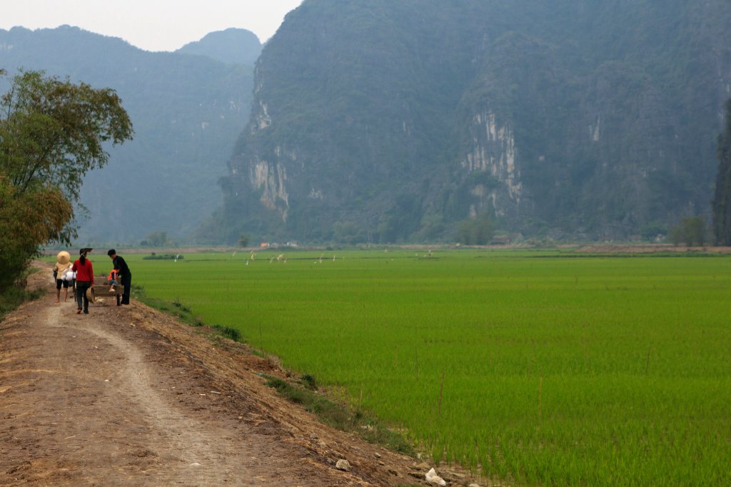 |
| Rice fields | |
| Latitude: N 20°13'8,68" | Longitude: E 105°55'13,67" | Altitude: 5 metres | Location: Vu Lam | City: Ninh Binh | State/Province: Hoa Binh | Country: Vietnam | Copyright: Ron Harkink | See map | |
| Total images: 23 | Help | |
|
|
|
| Rice fields | |
| Latitude: N 20°13'8,68" | Longitude: E 105°55'13,67" | Altitude: 5 metres | Location: Vu Lam | City: Ninh Binh | State/Province: Hoa Binh | Country: Vietnam | Copyright: Ron Harkink | See map | |
| Total images: 23 | Help | |